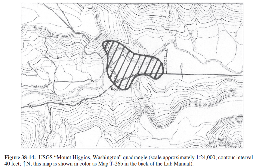
How much of Steelhead Drive (and the houses along it) were covered by the landslide?
The question is based on Figure 38-8, a digital elevation model showing the 2014 Oso, Washington, landslide along the North Fork Stillaguamish River, and color Map T-26b in the back of the Lab Manual, showing a portion of the “Mount Higgins, Washington” quadrangle (scale 1:24,000; contour interval 40 feet); this same topographic map is reproduced in black-and-white as Figure 38-14.
What will be an ideal response?
Virtually all of it.

You might also like to view...
Which factor does NOT contribute to increased height of a storm surge?
a. low atmospheric pressure b. strong hurricane winds c. fetch d. shallow water e. deep water
In the Northern Hemisphere, severe winter weather in the midlatitudes is driven mostly by ________; these are air masses rotating counterclockwise about a low-pressure core.
A. anticyclones B. derechos C. tornadoes D. cyclones E. fronts
P waves travel only along the surface of the Earth.
Answer the following statement true (T) or false (F)
The population theory held by Thomas Malthus was that the human population would:
A. Maintain equilibrium with its carrying capacity B. Reach its environment's carrying capacity and then maintain equilibrium C. Never reach its environment's carrying capacity D. Outstrip its resources, then suffer starvation and misery E. Develop a modern utopia