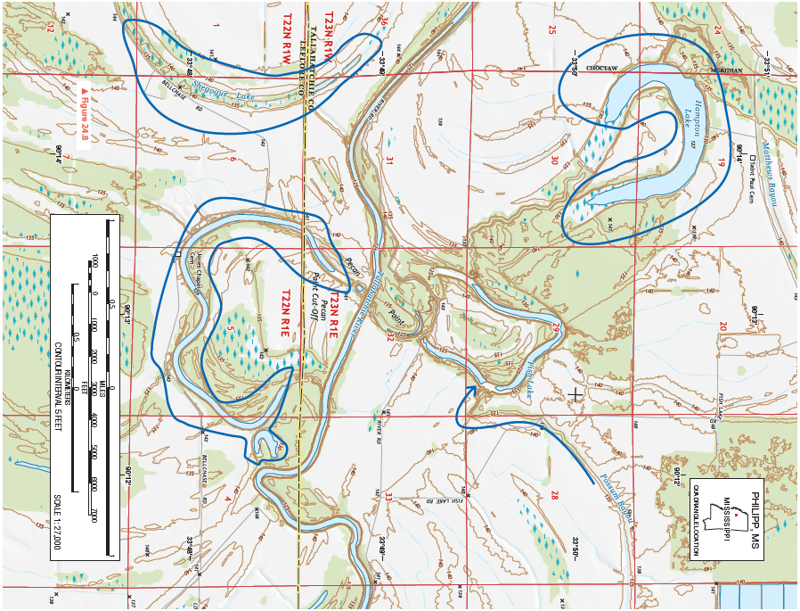
What is the highest spot elevation (“X”) on the map and in what PLSS (Public Land Survey Section) section is it located?
Figure 24.8 is a portion of the Philipp, Mississippi, 7.5-minute quadrangle in northwestern Mississippi. The Tallahatchie River flows through the landscape from west to east. (Remember to use the topographic map symbol legend inside the front cover of this manual.)
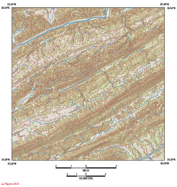
Review Figure 24.4, analyze Figure 24.8 closely, and answer the following questions and completion items about Figure 24.8.


146' in Section 4.
You might also like to view...
Developed countries, in the year 2000, pledged to devote 0.7% of their national income toward reducing hunger and poverty and moving toward environmental sustainability. What is the average actual amount donated by these countries?
A. 2.0% B. 1.5% C. 0.75% D. 0.50% E. 0.25%
Under feudalism, what was the central institution that governed allocation of resources?
A) the Church B) the cities C) the market D) the serfs E) the state
Many developing countries have economies largely dependent on subsistence agriculture; the vast majority of the population in the Oceania / Pacific region, excluding Australia and New Zealand, live in rural areas
Indicate whether the statement is true or false
Presently, glaciers cover approximately ________ percent of Earth's land area
A) 3 B) 7 C) 11 D) 15 E) 22