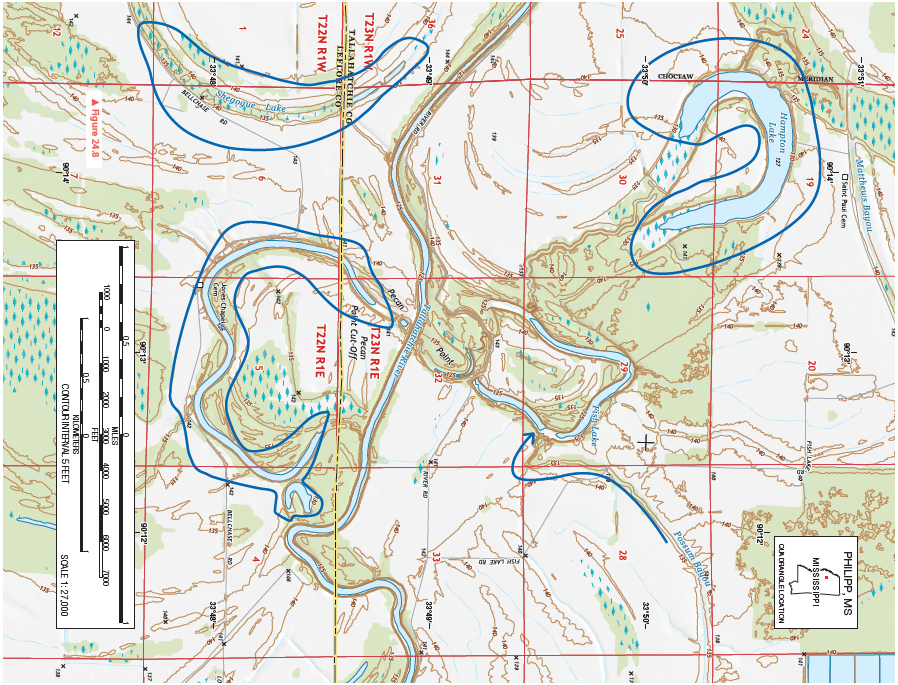
What is the name of the primary meridian that was used to survey this region for the Public Land Survey System?
Figure 24.8 is a portion of the Philipp, Mississippi, 7.5-minute quadrangle in northwestern Mississippi. The Tallahatchie River flows through the landscape from west to east. (Remember to use the topographic map symbol legend inside the front cover of this manual.)
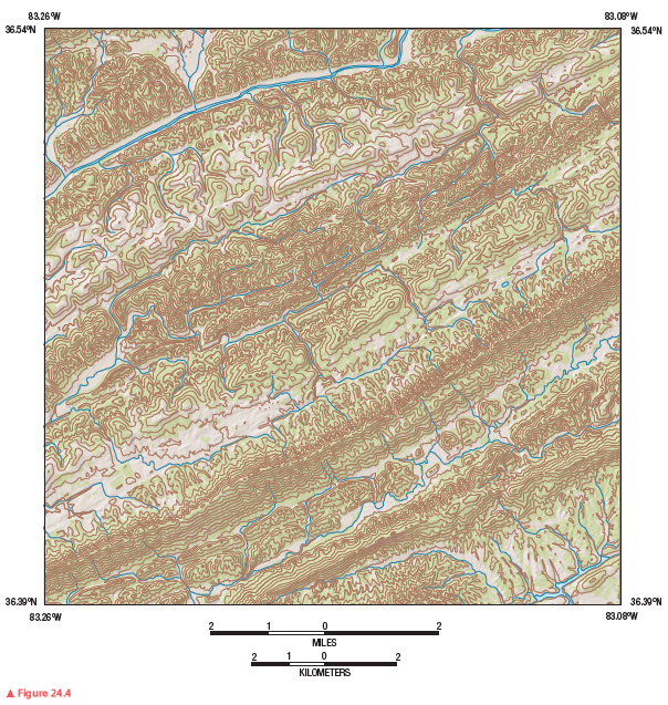
Review Figure 24.4, analyze Figure 24.8 closely, and answer the following questions and completion items about Figure 24.8.


Choctaw Meridian
You might also like to view...
Which of the following is true about where earthquakes occur?
A) Earthquakes are randomly distributed across most of Earth. B) Earthquakes mostly occur away from plate boundaries. C) Deep and intermediate-depth earthquakes occur near subduction zones. D) Deep earthquakes are most common near rising mantle plumes.
The lowest base level for most streams is sea level.
a. true b. false
The meaning of the terms "river" and "stream" sometimes overlap although, in general, a river is a large stream
Indicate whether the statement is true or false
Reductions in death rates in recent centuries are due more to better food and sanitation than modern medicine.
Answer the following statement true (T) or false (F)