What type of map is shown here? 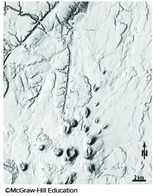
A. topographic map with contours
B. satellite image
C. shaded-relief map
D. geologic map
Answer: C
You might also like to view...
Under what conditions (if any) might you record a station pressure of 750 hPa?
What will be an ideal response?
During ecological succession,
A) the activities of earlier waves of colonizers cause nutrients and organic matter to accumulate in a habitat, allowing later colonizers to thrive. B) biodiversity typically increases over time. C) all the species that have lived in the habitat remain in the climax community. D) both A and B
Sometimes tiny pyroclastic particles are ejected into the atmosphere and settle to the surface as a(n) ____________________. In contrast, a(n) ____________________ is a cloud of these tiny particles and gas that moves along or close to the land surface
Fill in the blank(s) with correct word
The low pressure area near the equator is known as the ________.
A. horse latitudes B. westerlies C. polar easterlies D. trade winds E. Intertropical Convergence Zone