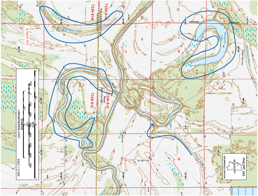
In the space below, sketch the topographic map symbol for a marsh or swamp. With a blue colored pencil or pen, lightly shade the backswamp areas on the topographic map.
Figure 24.8 is a portion of the Philipp, Mississippi, 7.5-minute quadrangle in northwestern Mississippi. The Tallahatchie River flows through the landscape from west to east. (Remember to use the topographic map symbol legend inside the front cover of this manual.)
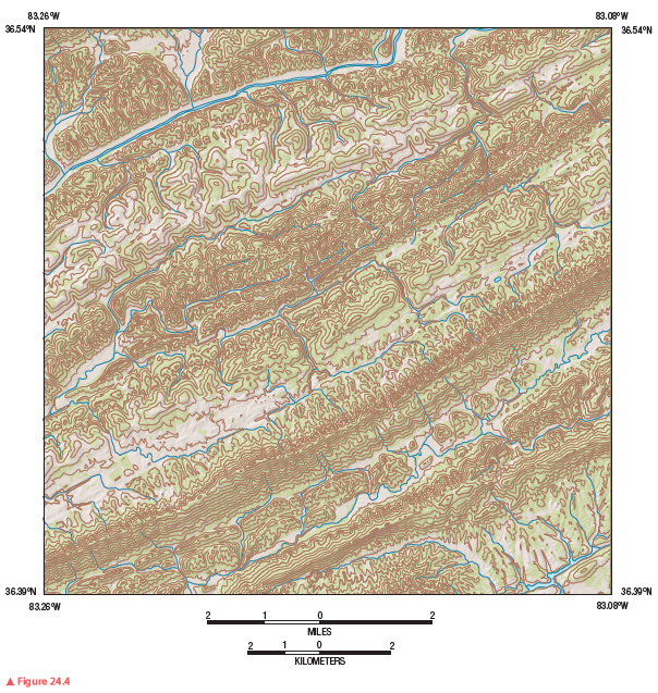
Review Figure 24.4, analyze Figure 24.8 closely, and answer the following questions and completion items about Figure 24.8.


You might also like to view...
What must occur for metamorphic rock to become magma?
A) crystallization B) melting C) precipitation D) lithification
An organism's range of tolerance is best described as ________
A) the range of precipitation that falls on a given area B) the span between the minimum and maximum temperatures in which an organism flourishes C) the difference between the amount of sunlight tolerated and the amount of sunlight available D) the difference between the amount of food available and its consumption of that food E) the total amount of pollutants experienced by an organism
Who was first to explain the mechanism by which most earthquakes are generated?
What will be an ideal response?
One would expect the lowest temperatures to be found next to the ground on a
a. ?clear, damp, windy night. b. ?cloudy night. c. ?clear, dry, calm night. d. ?clear, dry, windy night. e. ?rainy night.