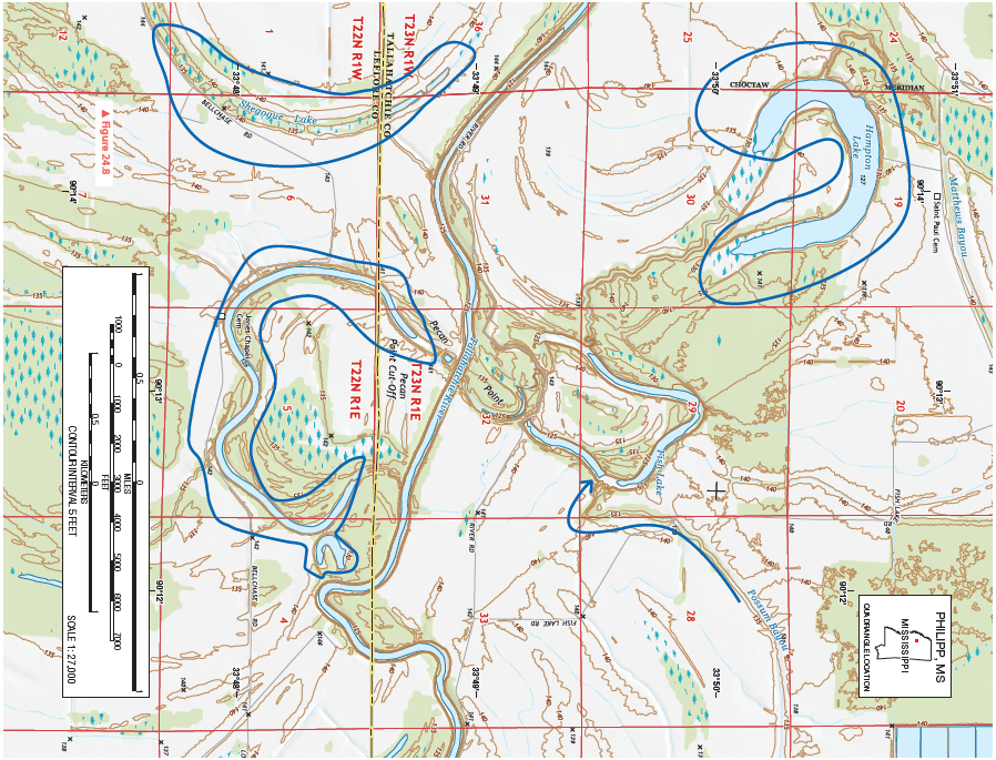
Do the fluvial features have any effect on road patterns? Explain and give some examples. Highlight your examples with a colored pencil or pen on the topographic map.
Figure 24.8 is a portion of the Philipp, Mississippi, 7.5-minute quadrangle in northwestern Mississippi. The Tallahatchie River flows through the landscape from west to east. (Remember to use the topographic map symbol legend inside the front cover of this manual.)
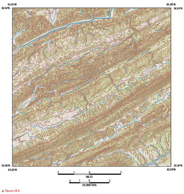
Review Figure 24.4, analyze Figure 24.8 closely, and answer the following questions and completion items about Figure 24.8.


Roads are often placed on top of levees above the floodplain. An example is just north of the Tallahatchie River in sections 31 and 32. Also, see the road southwest of the oxbow lake in sections 5 and 6.
You might also like to view...
What was the cause of flooding in the 1993 upper Mississippi River flood?
A) Heavy snowmelt in Canada sent large volumes of water down the river in the spring. B) A dam failed because it had been built in a risky place near a fault. C) Persistent thunderstorms caused large amounts of rainfall over a several-state region. D) Winter produced rain that melted snow that was on the ground.
Large fossils are more useful for environmental interpretations than are microfossils
Indicate whether the statement is true or false
The primary petroleum deposits in Australia occur:
A) in the interior near Alice Springs B) in Sydney harbor C) off the northwest coast D) on the island of Tasmania
Which three countries have the largest populations in the Middle East?
a. Egypt, Saudi Arabia, and Turkey b. Iran, Saudi Arabia, and Sudan c. Iraq, Iran, and Turkey d. Algeria, Libya, and Egypt e. Egypt, Iran, and Saudi Arabia